
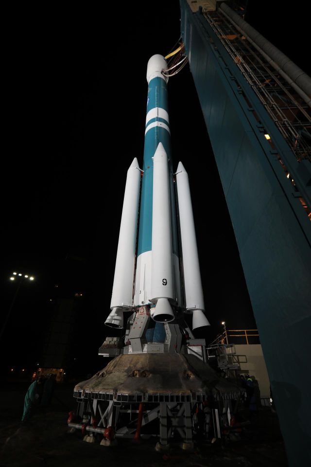
Planet Earth - ICESat-2: mapping Earth's third dimension with lasers
Planet Earth · 0:40
ICESat-2: mapping Earth's third dimension with lasers (NASA)
More videos
- Planet Earth - Mount Everest: ancient marine limestone at Earth's summit 0:40
- Planet Earth - Bardarbunga: the volcano beneath Iceland's largest glacier 0:43
- Planet Earth - Mount Ruapehu: fire and ice in New Zealand 0:41
- Planet Earth - Mars South Pole: the coldest dry ice landscape 0:39
- Planet Earth - Pavonis Mons: the central shield of Tharsis 0:40
- Planet Earth - Rabaul: when twin volcanic cones erupted at once 0:36
- Planet Earth - Calbuco: a sudden eruption after forty silent years 0:40
- Planet Earth - Cumbre Vieja: the three-month volcanic surge on La Palma 0:36
- Planet Earth - Kilauea: fissures and lava lakes in Hawaii 0:37
- Planet Earth - Severnaya Zemlya: charting Earth's last explored Arctic archipelago 0:41
- Planet Earth - Harmakhis Vallis: an ancient Martian canyon shaped by ice 0:38
- Planet Earth - Oetztal: orbital radar tracks Alpine glacier change 0:38